| Which Seaside? - AQ2023 / 10th December Posted by grahame at 07:47, 10th December 2023 |     |
1.

2.

3.

4.

| Re: Which Seaside? - AQ2023 / 10th December Posted by bradshaw at 08:33, 10th December 2023 |     |
4 Penzance
| Re: Which Seaside? - AQ2023 / 10th December Posted by froome at 08:50, 10th December 2023 |     |
1 I would guess is Bristol's Floating Harbour viewed from the Southville side looking west.
| Re: Which Seaside? - AQ2023 / 10th December Posted by Mark A at 09:11, 10th December 2023 |     |
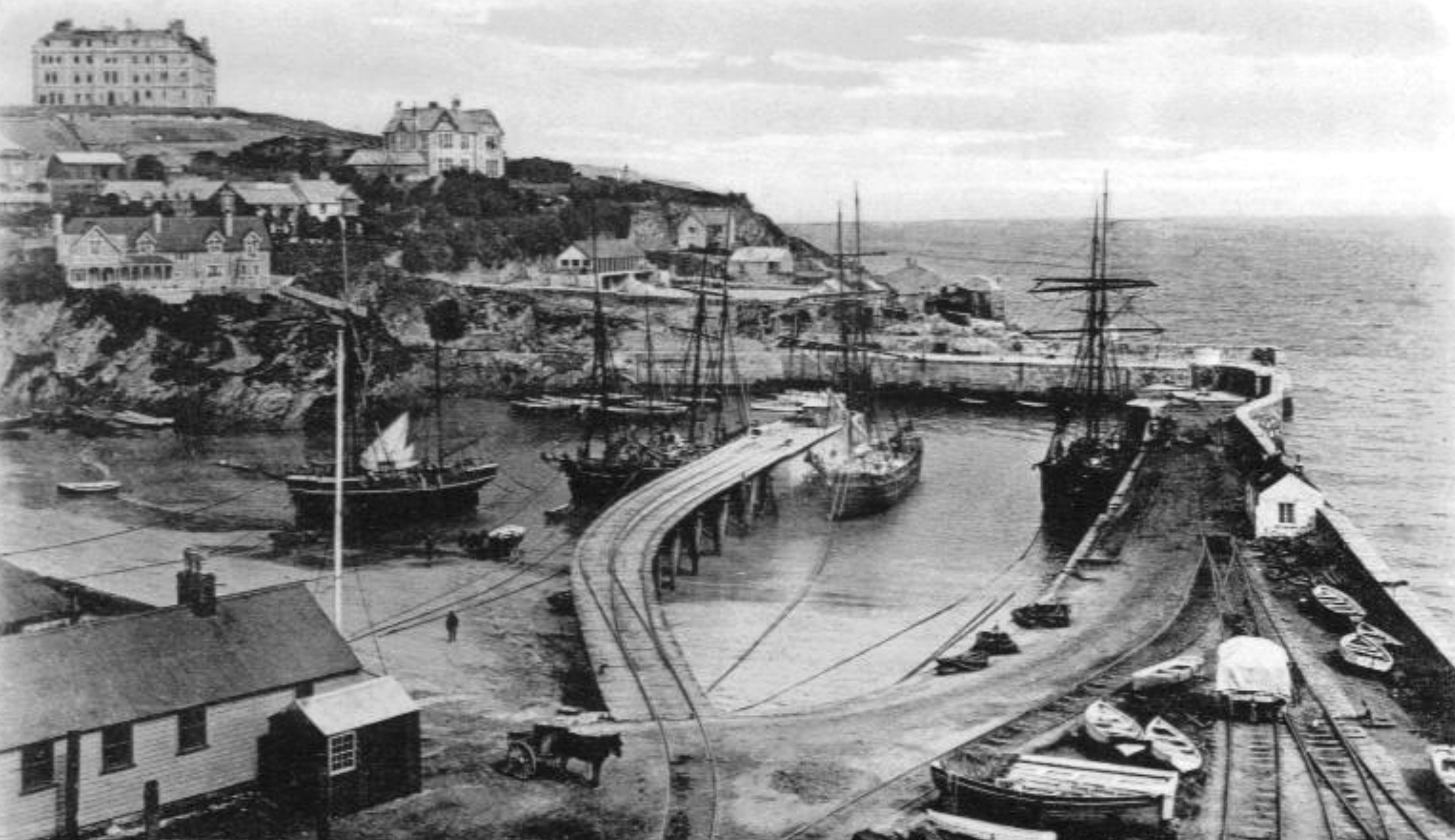
2... Newquay?
| Re: Which Seaside? - AQ2023 / 10th December Posted by Mark A at 09:16, 10th December 2023 |     |
4: Ramsgate.
| Re: Which Seaside? - AQ2023 / 10th December Posted by grahame at 09:17, 10th December 2023 |     |
1. is indeed the Floating Harbour in Bristol
2. is Newquay
4. is NOT Penzance unless the picture (not my original) has been mislabelled.
4: Ramsgate.
Phew, yes, that's what I had
| Re: Which Seaside? - AQ2023 / 10th December Posted by Mark A at 09:24, 10th December 2023 |     |
Where on earth is number 3?
Mark
| Re: Which Seaside? - AQ2023 / 10th December Posted by Western Pathfinder at 10:33, 10th December 2023 |     |
Scotland?...
| Re: Which Seaside? - AQ2023 / 10th December Posted by grahame at 10:36, 10th December 2023 |     |
| Re: Which Seaside? - AQ2023 / 10th December Posted by johnneyw at 11:43, 10th December 2023 |     |
3. Is it the old Severn crossing before it's accident and subsequent demolition?
| Re: Which Seaside? - AQ2023 / 10th December Posted by bradshaw at 14:47, 10th December 2023 |     |
Rosslare Harbour
| Re: Which Seaside? - AQ2023 / 10th December Posted by grahame at 15:12, 10th December 2023 |     |
| Re: Which Seaside? - AQ2023 / 10th December Posted by stuving at 17:27, 10th December 2023 |     |
You may feel that picture 3 raises the question of where to look for historical maps of Ireland. Going to the NLS as a reflex action meets with discouragement - no Irish maps sets in the list, nor places in the gazetteer. And yet, they do have quite a lot of OS maps for Ireland, including what looks to be a nearly complete set of 6" maps listed as 1829-1969. In most cases they will be from later to earlier than that; for Rosslare the three on offer are the 1840 survey and revisions of 1903 and 1943.
There's a trick to getting to them: start with the search but ignore the gazetteer and list of map series, navigate on the map to where you want. Click on that place, and select map series from the list on a trial and error basis. If there are any maps you'll see their outlines, if not not. The OS Six-Inch, 1820s-1960s looks the most useful, even though internally they call it OS Six-inch Ireland, 1829-1969. At least, that does work - there may be other, and better, tricks too.
Anyway, that 1903 map shows the "railway and pier in course of construction", with its end not drawn. The turntable is in the place seen on the picture. The 1843 map shows that moved elsewhere, but buildings on the pier not seen in the picture - a goods shed and station. That suggests the picture was taken around 1903, or a little after.
| Re: Which Seaside? - AQ2023 / 10th December Posted by CyclingSid at 07:09, 11th December 2023 |     |
Which Seaside?
None exactly strike me as bucket and spade territory!
| Re: Which Seaside? - AQ2023 / 10th December Posted by grahame at 08:46, 11th December 2023 |     |
Which Seaside?
None exactly strike me as bucket and spade territory!
None exactly strike me as bucket and spade territory!
Some not - yet Ramsgate (picture 4) shows a whole line of Beach huts ...
| Re: Which Seaside? - AQ2023 / 10th December Posted by stuving at 13:55, 11th December 2023 |     |
Which Seaside?
None exactly strike me as bucket and spade territory!
None exactly strike me as bucket and spade territory!
Some not - yet Ramsgate (picture 4) shows a whole line of Beach huts ...


